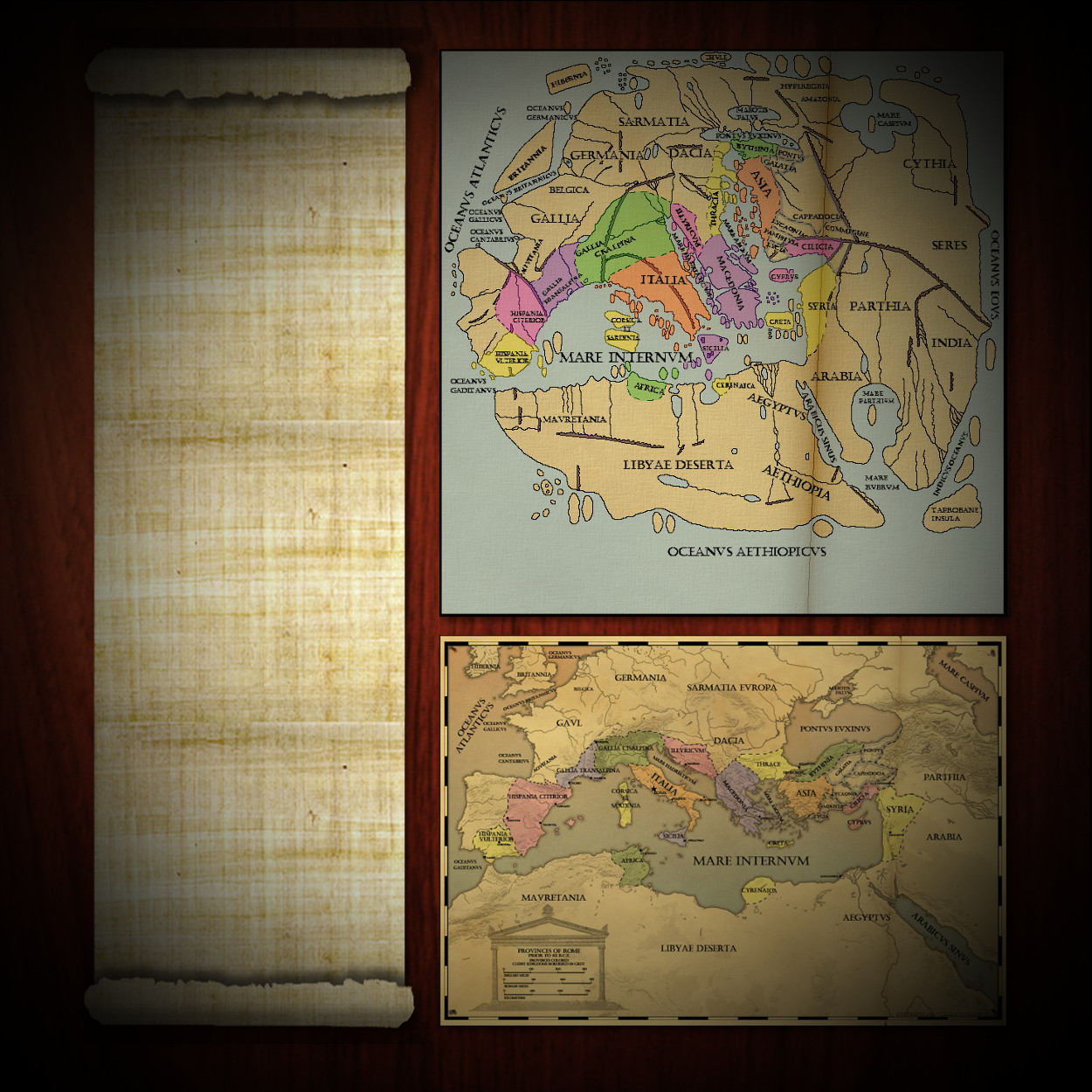


The inaccuracies of the first map are due to the difficulty geographers encountered when trying to determine latitude and longitude and a lack of first-hand observations. Measuring latitude required an accurate determination of the position of the sun or known stars in the sky, while longitude required much more complex and difficult measurements. The invention of the geographic coordinate system that used latitude and longitude is credited to Eratosthenes of Cyrene who lived in the third century BC. Contrary to what your third grade teacher may have told you, ancient people were not convinced the world was flat. In fact, Eratosthenes came up with a quite accurate estimate of the circumference of the earth by using shadows to calculate the degrees of latitude as they relate to distance.
Click on the images below to see a larger, clearer copy of that image.